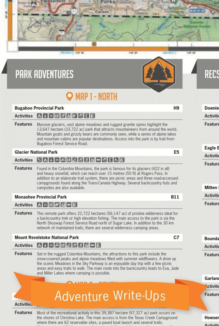
Highlighting the birthplace of the Backroad Mapbook founders Russell and Wesley Mussio, this BC topographic map covers the West Kootenay area like no other map. The popular recreational area sandwiched between The Arrow Lakes and Kootenay Lake is loaded with great fishing lakes, big game species to hunt, endless trail systems, wilderness parks and much, much more. The North Side of the map covers the area from Kaslo/New Denver north past Nakusp to Revelstoke. The South Side features the areas surrounding Castlegar, Nelson, Rossland and Trail as it stretches west from Creston towards Grand Forks. From big lakes to winding highways through some truly dramatic and often lonely country there is something for everyone to enjoy in this beautiful area of the province.The West Kootenay Outdoor Recreation Map is printed on tear resistant and waterproof paper and combines several of Backroad Mapbooks popular Kootenay Rockies Backroad Mapbook maps and increases the scale to 1:170:000 to allow for easier readability. They have also added things like fish species, hunting management units, mapped the BC logging roads and trail systems and noted all the park and forest recreation sites in the area. Other prominent features include the ATV and snowmobile line classifications, symbols that mark wilderness campsites, boat launches, paddling routes, trail systems and much more.