1
/
of
1
Backroad Mapbooks
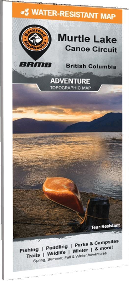
Adventure Map - Murtle Lake - Wells Gray Provincial Park
Adventure Map - Murtle Lake - Wells Gray Provincial Park
Regular price
$29.95 CAD
Regular price
$29.95 CAD
Sale price
$29.95 CAD
Unit price
/
per
Shipping calculated at checkout.
Couldn't load pickup availability
Highlighting the Murtle Lake area of Wells Gray Provincial Park British Columbia, this map features the canoe routes and access points, campsites, cabins, portage trails with distance markers, fish species, hiking trails and waterfalls. This Adventure map can be used for fishing, camping, exploring, canoeing, kayaking, wildlife viewing and more! With 1:10,000 water and road data and covering 2,715 sq. km (1,050 sq. mi), this map includes Murtle Lake, Wells Gray Provincial Park, Anderson Lake, Blue River, Diamond Lagoon, Henrietta Lake, McDougall Falls, Murtle River and more!
Share